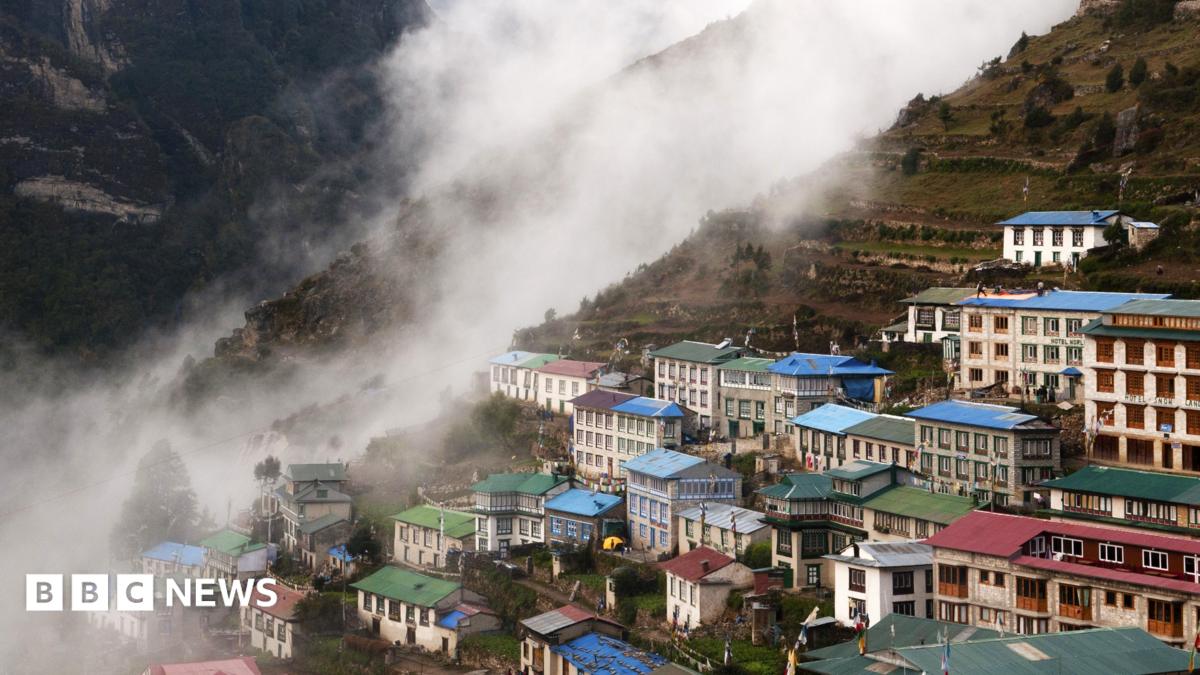
At least 300,000 people in parts of the Himalayan region could now be living in the path of potential disasters, a new study suggests. This was reported by Qazaqyia.kz citing BBC News.
Researchers found that the amount of built-up land in high-risk zones in northern Nepal, parts of south-eastern Tibet and a corner of India's Uttarakhand had grown by about 45% between 2016 and 2023.
In areas particularly threatened by flooding from glacial lakes, development increased even faster, rising by almost 78% over the same period, according to the peer-reviewed study published in Scientific Reports.
The team of scientists behind it said the true number of people under threat could be much higher, as they only analysed a specific territory and not neighbouring areas which face similar risks.
The study was carried out before August's devastating mass floods which left more than 1,400 dead and thousands missing in Nepal. More recently there have been several smaller incidents, including flooding along the Budhi Gandaki river on 11 October that damaged 200 houses, swept away five bridges and left five people missing.
Nine researchers from the UK, Nepal and India looked at areas up to 50km (30 miles) downstream from Himalayan rivers, as well as around 1,360 glacial lakes.
They found significant development in these areas - including an expansion of tourism facilities, infrastructure development and real estate.
It's clear in Pokhara, a major tourism hub at the foot of the Himalayas that's grown significantly in the past 30 years to cater for a massive increase in visitors.
Mayor Dhana Raj Acharya says it's a huge challenge to deal with the risk posed by the Seti Gandaki River, which stems from the Annapurna mountain range and flows right through the city. Many old buildings are just 5m (16ft) from river banks, he says, despite new rules requiring them to be further away.
"Where we move them, and how we do that, is the real challenge."
To the north is the world-renowned Annapurna trekking region that has also seen a major increase in settlements along river banks - some hit by recent floods and landslides.
Phurpa Chhiring Lama, who runs a homestay there, feels helpless. Normally all of his 20 rooms are occupied at this time of year - the peak trekking season - but now only five are. "We have been doing this business for more than 40 years, but we've never seen this kind of disaster."
Krishna Gauchan, whose hotel is close to the glacier-fed Modi river, is worried too. "This river can flood if the glacier collapses or if the glacial lake bursts out and we are living in constant fear."
Tourism investors promote some of these spots as destinations without factoring in the risks, suggests Khagendra Poudel, a geographer at a local campus of Tribhuvan University. It's similar to what's happening in parts of north India's Himalayan valleys which host major pilgrimages.
The president of the Hotel Association Pokhara admits tourism businesses have expanded "without any proper planning" in the region and been promoted "haphazardly".
"By the time disasters hit, it is too late," says Laxman Subedi. "As a professional body we are trying to create awareness among tourism entrepreneurs and investors."
But it's not just tourism. The regions surrounding the Bhotekoshi and Trishuli rivers have seen a significant rise in the construction of hydropower plants.
"As river valleys become increasingly populated, development decisions being made today will shape disaster risk for decades to come," warns the study's lead author, University of Leeds glaciologist C Scott Watson.
And even more buildings may be under threat than those identified by the researchers.
The study categorised buildings at risk as all those that were within 50 vertical metres (164ft) of a river or glacial lake's surface.
But during the catastrophic flooding on 26 August, locals in Rasuwa district say the river level had risen by 70m (230ft) at some points - so even buildings that were relatively far from the river banks were hit and buried by debris-sludge.
The risks in all of these areas are largely driven by warming in the Himalayan region, which scientists say is happening at twice the global rate. This has sped up the melting of glaciers, icefields, snowpacks, and ground that's normally frozen all year.
This can, in turn, destabilize mountain slopes which are also frequently shaken by earthquakes, unleashing devastating disasters downstream.
The rapid melting is also filling up and expanding glacial lakes until they burst, causing deadly floods. Nepal alone has documented around 30 of these events since 1940.
Another issue is that rising temperatures cause rain to reach high altitudes where it used to only snow, leading to slope failures, rock and ice falls, and other disasters.