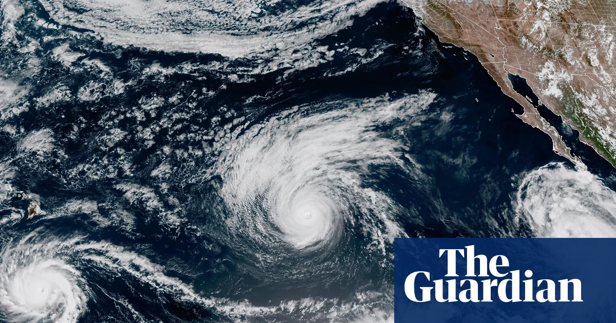
Hawaii has declared a state of emergency as powerful Hurricane Lowell makes its way toward the islands, with the first impacts expected as soon as Monday. This was reported by Qazaqyia.kz citing The Guardian.
The storm is the third system in just over three weeks to threaten Hawaii during an active hurricane season in the central Pacific. Lowell remained a category 3 hurricane early on Sunday morning, packing winds of 125 miles per hour while moving north-west at six miles per hour.
According to the forecast, Lowell will reach Hawaii as a category 2 hurricane. Its center could pass roughly 130 miles west of Ni'ihau or 170 miles west of Kauai between Monday evening and Tuesday morning.
The threat comes amid unusually intense hurricane activity across the Pacific.
As of Saturday, Hurricanes Karina, Lowell and Marie were all churning in the Pacific at the same time, marking the region's first triple-hurricane stretch in a decade. The National Hurricane Center (NHC) was also monitoring a fourth potential system off the coast of Mexico.
The Pacific averages only eight hurricanes per year, according to the NHC, making three simultaneous hurricanes highly unusual.
Lowell's projected offshore path is expected to keep the storm's most dangerous winds away from Hawaii's islands. But heavy rain, high surf and dangerous coastal conditions are still expected.
A tropical storm warning is in effect for Kauai and Ni'ihau, where wind gusts above 39 miles per hour are possible over the next 48 hours.
Lowell is the third storm in a matter of weeks to hit Hawaii as the climate crisis continues to increase the intensity and frequency of storms and other weather events.
Tropical Storm Moke struck the southern part of Hawaii's islands two weeks ago, bringing heavy rainfall and strong winds. That came just days after Hurricane Lala hit the region.
The Hawaii governor Josh Green said Lala alone had caused at least $43m in infrastructure damage on the Big Island, along with another $4.6m in damage to homes.
The escalating storm activity comes as the UN warns that this year's El Niño is forecast to become the strongest on record in four decades.
A statement released on Thursday described El Niño as being "supersized before our eyes", adding that the world is in "the danger zone of extreme weather".
The latest data on the natural climate phenomenon shows a near 100% likelihood that the latest El Niño will continue through February 2027, the statement said. The stronger an El Niño becomes, the greater the chance it will significantly alter rainfall and temperature patterns around the world and help fuel extreme weather.
The National Oceanic and Atmospheric Administration (NOAA) has previously warned there is a 69% chance that this El Niño will be the strongest in 70 years.